Manteca could grow north ultimately all the way to French Camp Road.
That means a lot more homes, a lot more trucks, and less farmland
It is the vision that resulted from seven years of discussions and analysis of the state-mandated general plan that’s serves as the broad blueprint for city growth.
On Thursday, the Manteca Planning Commission will consider passing a recommendation on to the City Council to adopt the updated plan and its accompanying environmental impact review.
The commission meets at 6 p.m. at the Manteca Civic Center, 1001 W. Center St.
If the council concurs and lawsuits aren’t filed, the city’s growth strategy for the next 20 to 40 years will be put in motion.
The Manteca general plan encompasses two types of land — what is already in the city limits and what is highly likely to become part of the city.
Those two areas represent 31.89 square miles. To give you an idea of the area covered in a square mile, which is 640 acres, it is the same amount of land that is bordered by Louise Avenue on the north, Cottage Avenue on the east, Yosemite Avenue on the south, and Main Street on the west.
There are already 13,746 acres within the city limits. There is another 6,664 acres adjacent to the city that is known as the sphere of influence and ultimately is expected to be annexed to the city.
The land uses the general plan update gives to both categories of land will eventually allow Manteca to accommodate 66,353 housing units or 211,003 residents overall.
To put a city of 211,003 residents in perspective:
*Manteca currently is on the cusp of 90,000 residents.
*If there was no other population growth in other California cities, 211,003 residents would make Manteca the state’s 21st largest city with just 597 less residents than Moreno Valley in Riverside County.
*Stockton, currently the state’s 11th largest city, has 322,150 residents.
*Modesto, currently the state’s 19th largest city, has 218,771 residents.
The general plan includes adequate land in strategic locations to help bolster job generation which is what the community indicated they wanted during a series of 14 workshops.
Previous general plans were not only light in industrial zoning needed for business parks but there was almost no critical infrastructure in place or nearby to facilitate industrial development.
That is not the case with the general plan update.
It significantly reduces land targeted for industrial use, adds a lot more housing, and reduces projected multi-use commercial areas to reflect changing retail realities.
While site specific streets as well as sewer and water lines and such aren’t in place, three major areas are either in locations with — or will be soon getting — freeway access in addition to rail access.
Two of the three business parks areas are within an easy extension of current municipal water and sewer service while the third is within a half mile.
Northwest Manteca
Northwest Manteca involves an area bounded by Airport Way on the west, French Camp Road on the north, Union Road on the east, and Lovelace Road on the south.
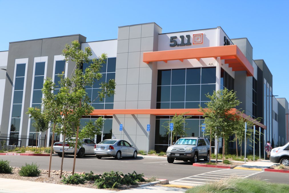
The southwestern corner will be across from Amazon and Penske Logistics that provides distribution for Lowe’s Home Improvement.
It’s northwestern corner is a mile from the edge of Stockton Metro Airport via Airport Way. Freeway access would be Roth Road to Interstate 5 and French Camp Road to Highway 99.
The city literally has sewer and water service essentially to the edge of the area already in place.
French Camp/Highway 99
Perhaps the most appealing in terms of freeway access as well as the ability to develop given the area has several large parcels that are conducive to business park development without having to cobble together a lot of smaller properties can be found on the southeast corner of French Camp Road and Highway o99.
It is on top an interchange upgraded just eight years ago. To accommodate heavy truck movements, it would require only ramp upgrades.
It also has a rail line that is attractive to many distribution center operations as well as manufacturing concerns.
It also has the closest and easiest access to both intermodal yards in the area — Union Pacific sandwiched between Lathrop and Manteca on Roth Road – and Santa Fe on Austin Road several miles northeast of Manteca.
Austin Road
The Austin Road Business Park specific plan for 1,080 acres in southeast Manteca includes more than 300 acres for industrial uses as well as commercial and residential.
It has access to rail as well.
What may make it plausible in the near future for development is the three phased, $157 million 120 Bypass/Highway 99/Austin Raid interchange upgrade breaking ground later year.
That’s because the first phase will include an Austin Road replacement interchange that clears the freeway as well as the railroad tracks. The third phase will also include elaborate braided ramps that will accommodate heavy truck and vehicle movements.
Sewer and water service is already adjacent to part of the area zoned for industrial.
What Manteca’s future
city limits could look like
If all of the land addressed in the general plan is annexed to the city, it would create a fixed boundary on the west and partial boundaries to the north and south that the city could not expand beyond.
Manteca is already flush against Lathrop on the west. It could also eventually include Oakwood Shores as well as some areas to the west that border the San Joaquin River.
It’s southern boundary in a large part will be determined by the placement cross-levee or dry levee required for 200-year flood protection. State law will not allow urbanization south of the proposed levee as it would lack 200-year flood protection.
That wouldn’t be the case on the eastern edge of Manteca’s southern flank. Manteca could theoretically grow until it reaches the sphere of influence for Ripon.
On the north, Manteca would touch part of Stockton’s existing city limits that reaches French Camp.
However, Manteca could still grow north of French Camp Road east of Highway 99.
On the east, it is wide open north east of Highway 99 and north of Graves Road which is the northern sphere of influence boundary for Ripon.
The general plan as presented includes land within 1½ miles of Jack Tone Road between Louise Avenue and East Highway 120.
North and south of that area the eastern edge of Manteca’s planning area is Prescott Road to the north and to the south if that rural road was continued south to Highway 99.
To contact Dennis Wyatt, email dwyatt@mantecabulletin.com


