Physical work on levees designed to protect Lathrop east of the San Joaquin River and a large swatch of west Manteca straddling Airport Way against a 200-year flood event won’t start until at least October 2029.
The work that gets started then is the portion of the overall $337.3 million project that is being paid for with local and state funds.
The portion the Army Corps of Engineers will pay for won’t see physical work started until October 2034.
The update of work on what ranks as the most expensive public works project in San Joaquin County historywas provided to the City Council on Monday.
The San Joaquin Area Flood Control Agency (SJAFCA) endeavor is one of two projects to enhance flood protection.
Reclamation District 17 that specifically protects areas of Manteca and Lathrop is wrapping up an $80.9 million project to address levee seepage.
Under a law signed by Gov. Gavin Newsom, SJAFCA — an agency involving Manteca, Lathrop, Stockton, and Sab Joaquin County — has until 2040 to get all improvements in place.
Originally the deadline was 2030.
River Islands at Lathrop is not included in the SJAFCA project as Cambray Group constructed 300-foot wide levees that meet 200-year flood protection standard before the first of what will eventually be 15,001 living units was built in the planned community,
The local-state funded portion of the SJAFCA project is already going under environmental documentation. That work will be completed by June 2025.
Right-of-way acquisition as well as engineering design is targeted for completion by the end of 2026.
Permitting and compliance certification is expected to be completed by late 2027 to allow actual construction to start by October 2029.
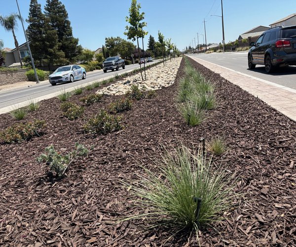
The overall project also includes replacing and extending a dry levee south of Woodward Avenue in addition to bulking up river levees.
Property owners in the impacted area in June approved a 31-year assessment to raise $110 million to help cover the local cost of the project.
The residential tax assessment ranging from $10.52 to $83.44 a year depending upon exposure, appeared on property tax bills mailed this month to the impacted areas.
Increased flooding risk
prompted need for levee work
The state mandated 200-year flood protection after it was determined by the Federal Emergency Agency that the area around the San Joaquin-Sacramento Delta had the highest risk in the United States for a repeat of the 2005 Hurricane Katrina disaster in New Orleans.
The area covered by the levee work was expanded to include parts of Manteca east of Airport Way after a new California Department of Water Resources modeled showed there likely will be at least a tripling of flows in the San Joaquin River due to changing weather patterns.
The three times plus increase in river flows by 2060 would mean an additional five feet of water flowing by levees at the French Camp Slough.
Various models show precipitation patterns are slowly changing over Northern and Central California as they have done in a repeated cyclical pattern over the course of thousands of years.
As a result, flooding frequency is expected to rise.
Models point to less snow in the Sierra and more rain in the foothills and on the valley floor.
That means precipitation shifts could reduce the effectiveness of the flood control functions of major reservoirs. It may be due to more frequent warm rain melting snowpack throughout the winter, more perception falling below the basins feeding into reservoirs, or a combination of both.
As such, that increases the odds for flooding in Manteca — as well as Lathrop — given both cities are along the “last miles” where the 15,600 square miles of the San Joaquin River basin drains into the Delta.
Local concerns, though, preceding that as the paving over of land with impervious surfaces — streets, parking lots, rooftops, sidewalks and such upstream — had been increasing runoffs and the frequency of flooding measured.
In flood lingo, a 200-year event doesn’t mean a flood that will happen every 200 years.
Instead, it reflects the odds of such an event happening in any given year. That means there is a 1 in 200 chance of an event occurring in any given year requiring the levee work now being pursued.
Roughly 40 areas in California including Manteca-Lathrop-Stockton fall within peer reviewed science that designated 200-year flood plains.
To contact Dennis Wyatt, email dwyatt@mantecabulletin.com